GPS Coordinates: (Latitude, Longitude, Elevation)
Parking Location: 35.86135, -93.45776, 2225 ft.
Bowers Hollow Falls: 35.85428, -9343459, 1839 ft.
Bluffline break: 35.85533, -93.43023, 1842 ft.
Falls #1: 35.85427, -93.43289, 1822 ft.
Falls #2: 35.85532, -93.43059, 1809 ft.
Bear right to stay on trail: 35.85723, -93.44793
Turn off trail to bluff break: 35.84998, -93.43129
Turn off trail to top of Bowers Hollow Falls: 35.85084, -93.43634
Pet Friendly: Dogs on or off leash should be okay. If they are skittish or untrustworthy around high cliffs, this is not the place for them.
Motorcycle Friendly: Ah, NO. Cave Mountain Road is pretty rough. Not the place for your street bike. The way I came in this time on NC-9100, is too rough for a lot of 4x4's.
This is the best, in all of Arkansas. At least, that's what a some of my hiking friends tell me; for them, Bower's Hollow Falls is their absolute favorite, out of all the waterfalls in Arkansas. I personally disagree. Twin Falls in the Richland Wilderness remains number one on my list, but Bowers Hollow Falls is probably in my top two. It's not the tallest, but it seems pretty tall. The creeks feeding it are not that big, yet it seems to be a powerful waterfall. As far as the setting, well, okay. Anyone would have to admit this is one of the most scenic waterfalls anywhere. Looking at my photos after getting back home, in no way does my photography do justice to just how beautiful and scenic this waterfall is.
Either of these routes will get you there. Route (2) is the one Tim Ernst describes in his excellent book, Arkansas Waterfalls (HIGHLY recommended!). And if coming from Boxley or Ponca, this will be your shorter route. But Cave Mountain Road is very steep from the juncture of Highway 21, and when wet can be very slippery. MC-3595, like Cave Mountain Road, is just a one lane plus dirt road. However, it is a shorter distance on dirt roads, is generally about the same condition, and does not have the long, very steep stretch that Cave Mountain Road does. If driving from the south, this would be my recommendation.
I had never heard of this road in all my hikes in this area, so I stopped just after pulling off Highway 21 to check it out. Sure enough, the new road sign said NC-9100. Aggie's route listing showed it to only be 7.1 miles, then a quick 0.3 mile turn and we would be at our parking location. Amazed at the simplicity and eager to find a new, easier, driving route to a favorite area, we headed on down NC-9100. The road kept getting rougher and rougher, with a couple of the mud holes looking bad enough I had to get out to see if it wasn't just a big bottomless pit. I put the FJ in 4WD and soldiered on. Mentally, as the road progressively got worse, I degraded it from "county road" to "Forest Service road", then to "Jeep road". When we came up to the Buffalo River, I was starting to reconsider the trust I had put in Agnetha, but I was too invested in exploring the new route by this time to turn back. That crossing is deeper than it looks and has some rough holes, by the way. The bottom of the FJ needed a good washing anyway.
My original intent was to visit Bowers Hollow Falls, then head over the mountain to Smith Falls and McClure Falls. So we headed up toward the old trail, to a point where I thought the branch was to head out toward those waterfalls. Following Boomer's lead, I looked up and right before me were the ruins of an old homestead. At least the fireplace and chimney from one. There was no indication of a foundation, so I think the dwelling probably had a dirt floor. The walls and the rest of the dwelling had long since rotted and vanished without a trace. This fireplace is what I call "stack rock", and others call "dry stack", construction, where rocks are simply stacked on each other with no mortar to bind them. Back in the day, no one had cement or mortar; it was prohibitively expensive to have it hauled into areas like this. Even mules can only do so much. The fireplace and chimney were almost entirely intact, much more so than any others I have found in the Ozarks.
Hiking Statistics: Boomer and I hiked a total of 5.9 miles. The total time was just under three hours, but that included a lot of photo taking time, goofing off time, etc. The highest to lowest elevation was a difference of 517 feet, and none of it was very steep or strenuous. The climb from the creek level back to the old trail was probably the most difficult, and it was only an elevation change of 200 feet. There are a lot of smaller oak and beech trees on the return bushwhack, but briers and the other stuff that can make your hike miserable were minimal. I would rate this as a moderate bushwhack over all.
GPS files (.gpx format) - Maps of the GPS track are at the bottom of this post.
 |
| Bowers Hollow Falls (56 ft) |
There are a couple of ways to get there, three if you count my boondoggle earlier today:
(1) If coming from the south, from the intersection of Highway 21 and 16, turn west onto Highway 16 and go 10 miles. Then turn right onto MC-3595 (Madison County road). The road name changes to NC-9221 after only 0.2 miles, as it goes into Newton County. Go 1.3 miles and bear right onto NC-9200, also known as CR-5 or Cave Mountain Road. Go another 3.8 miles and turn right onto FR-1410. Go 1.6 miles and turn left onto FR-1410B.
(2) If coming from the north, from the intersection of highways 43 and 21, go south on Highway 21 for 1.2 miles and turn right onto Cave Mountain Road (CR-5). Go 8.6 miles on Cave Mountain Road and turn left on FR-1410. Go 1.6 miles on FR-1410 and turn left onto FR-1410B.
After you turn onto FR-1410B, park there unless you have a decent 4x4 or high clearance vehicle. The next half mile to the parking location is a little rough. When you get to a 'T', turn to the left and park where the road ends.
After you turn onto FR-1410B, park there unless you have a decent 4x4 or high clearance vehicle. The next half mile to the parking location is a little rough. When you get to a 'T', turn to the left and park where the road ends.
 |
| Bower's Hollow Falls (56 ft) |
Boomer (our German Shepherd) and I got a bit of a late start today. Some plans changed at the last minute and I found myself free to go hiking all day, so I decided to go up and check out Bower's Hollow. That would give Agnetha (her voice reminds me of Agnetha Faltskog), the voice in my FJ Cruiser's new navigation unit, a chance to show me what she could do. At any rate, Aggie directed me to go over to Ludwig, and up Highway 21, just as I expected her to. I was a little surprised when she told me to go straight through the Highway 16 intersection, then turn left, onto NC-9100.
 |
| Ice along the base of the bluff in Bower's Hollow |
 |
| Unnamed Falls #1 |
Eventually, we finished our 7.1 miles (in about a half hour), and Aggie responded by actually telling me "now turn right and leave the road". On my right was nothing but deep, dense, hardwood forest. Argh. I had no idea where we were but did not relish going back down that road and wasting another half hour. My handheld GPS saved us; it showed us to be only a half mile or so from the turn off FR-1410 onto FR-1410B. As it turns out, NC-9100 is FR-1410 up in that part and FR-1463 down where you turn off Highway 21. Checking my Topo maps after getting home, it shows it as a walking trail. Aggie had wanted me to turn off and go cross-country through dense Arkansas wilderness to the Kapark cemetery, close to my parking location. Now I know a third route to this area, but I'm not likely to recommend it. And Aggie will be getting an adjustment on the whole "shortest distance" vs. "shortest time" thing.
 |
| Rock Cairn marking where to leave the trail |
Once parked, Boomer and I made pretty good time. This used to be an actual trail, and at some time before that (long before), it was an actual road. Of course, after the land was made part of a wilderness area, it fell under the wilderness act rules and all the trail maintenance came to an end. It's still in pretty good shape, with the occasional downed trees to detour around. At .8 miles into the hike there is what looks like a faint trail branching to the left, so bear right here and stay on the real trail. At 1.2 miles in, you get to a small creek with a rock cairn made even uglier by an old bucket someone left. This creek can be followed right down to the main creek running through Bowers Hollow, near the top of Bowers Hollow Falls.
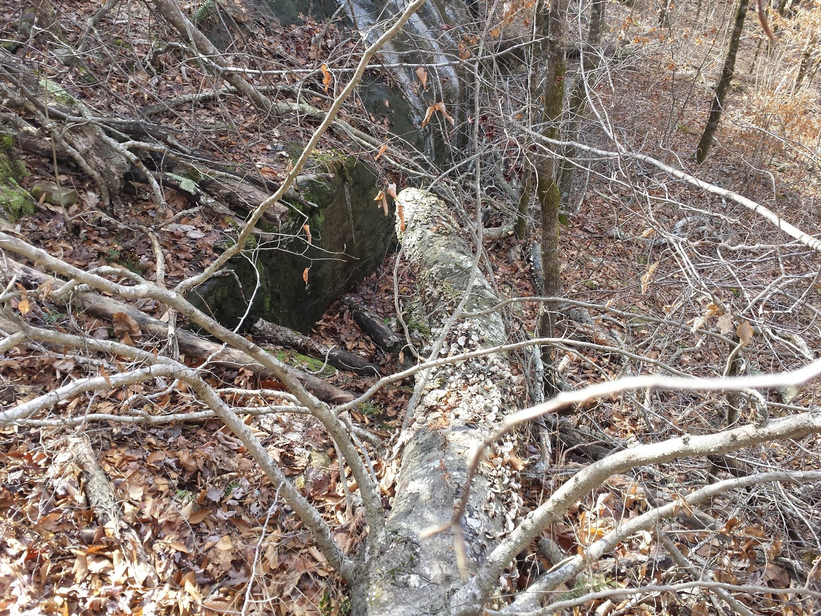 |
| Pass up this break and go another 10 yards downstream to a much smoother, easier, slope. |
But who wants to see the top of a waterfall, right? To get to the base, we hiked downstream along the right (south) side of the bluff. It's a long drop, and there was a lot of ice, so I promised myself I would take a different route on the way back. About a quarter mile downstream, we found our break. It looked like a big stair step, with a two-foot drop on each of the two steps, and a lot of fallen timber cluttering it up. Still, it was the first break in a very long bluff, so we took it. Or I did, anyway. I had a heck of a time convincing Boomer he could do it. He did, but on the way back, he ran ahead of me to this point, then showed up on top of the bluff, giving me that look that says "who's foolish now?". Boomer's break was just another 10 yards downstream, and was a smooth, steady slope anyone can handle. That's the one I marked with GPS coordinates above.
 |
| Bowers Hollow Falls (56 ft) |
We hiked back along the base of the bluff we just came through and soon came to the base of Bower's Hollow Falls. I have seen literally hundreds of waterfalls in Arkansas, and this is certainly one of the most scenic. The waterfall itself, the setting, the serenity of the location, all combine to make this a very special place. Because it is a little difficult to get to the base, there are very few that go all the way around to it. There is absolutely no trace of human visitation, just the way I like it. If you are reading this and intend to visit Bower's Hollow, please keep it pristine.
After spending quite a bit of time at Bowers Hollow Falls, we headed back. There are a couple of small unnamed waterfalls along the bluff, where drainages spill over the bluffline. It's been a week and a half since we had any rain, so today they looked nice, but could have used a lot more flow. We headed back out of the hollow, this time using the bluffline break Boomer had found.
 |
| Old Homestead |
 |
| Frost Flower |
But by the time we got out of the hollow, explored the old homestead site a little, and back up to the old trail, I was pressing my 'turn around time' limit. I seriously considered heading on down to Smith and McClure Falls, but finally decided to just call it a day and head home while both Boomer and I were alive, happy, and no SAR teams had been called out. I'll save them for the next hike here, and see if I can't get an early start with less exploring of new routes to get here. We did, however get to see something kind of rare, a frost flower. These are formed by water being drawn up small plants, extruded slowly from cracks and pores in the stem, and freezing as it comes out. Weird, but cool. All in all, another great day in the woods. Can't wait to do it again.
 |
| GPS track for Bower's Hollow Falls Blue - Outbound track Red - Return track |
This post was the sole reason I was able to get to the base of Bowers Hollow Falls, so thank you for that! We fumbled around the Smith & McClure Falls area a while but never could quite figure out how to get down below. If you ever go back and map that, you will make a lot of people very happy! :)
ReplyDeleteIt took me 2 visits to finally get below Upper & Lower McClure and Lower Smith. I still haven't figured out how to get below Upper Smith. This is my favorite area in Arkansas so I intend to keep trying but would LOVE to find a track from someone who is a pro! :)
DeleteWould you rate this a moderate hike or a difficult hike? May be one we do next Tuesday after 2 days at Big Cedar Lodge.
ReplyDeleteI would call it a moderate hike, depending on weather conditions. There is an old road that provides a good trail to the top of the hollow. If it is rainy/icy, be careful on the bushwhack below the bluff. I have slipped and fallen onto my back there.
Delete